

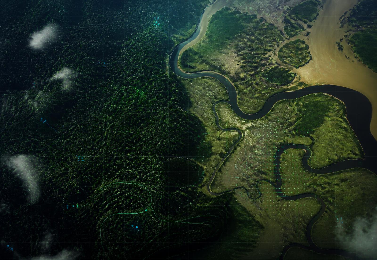
Aerial satellite view of an African forest, river and wetland landscape with geospatial data overlays
Africa's Environmental Intelligence Company

Ecosweave Systems

Environmental Intelligence for Africa's Living Systems

Ecosweave Systems connects geospatial, scientific, community and AI-powered data to help organizations understand, protect and restore Africa's ecosystems.

Environmental intelligence

Five capabilities, one continuous view of the landscape

Each capability is useful alone. Together they form a monitoring system that sees change from orbit, on the ground and in the community at the same time.

Satellite monitoring
Continuous earth observation across forests, wetlands, rangelands and coastlines — change detected in days, not seasons.
Geospatial intelligence
A full GIS workspace for boundaries, habitats, infrastructure and monitoring points, usable without a desktop licence.
Artificial intelligence
Models that summarise change, flag anomalies and draft reporting narratives with evidence attached to every claim.
Community reporting
Offline-first capture that turns local stewardship into verified, structured environmental evidence.
Scientific intelligence
A forthcoming research layer for reproducible analysis, shared datasets and peer-reviewed method development.
Explore the platform
See how the architecture fits together, from data ingestion to disclosure-ready reporting.

Products

A modular product suite for environmental teams

Start with what you need today and extend as your programme matures.

Ecosweave Intelligence
One operating picture for every landscape you manage.
Ecosweave Earth
Early warning for deforestation, encroachment and pollution events.
Ecosweave Map
Africa-focused GIS built for environmental teams, not GIS specialists.
Ecosweave Field
Local stewardship as first-class environmental data.
Ecosweave AI
Analytical assistance that explains itself.
Coming soon
Ecosweave Labs
A scientific workbench for advanced environmental research.
Coming soon
Ecosweave Insights
Environmental analytics, reporting and decision support.

Why Ecosweave Systems

Enterprise capability, African context

We build to the standard of the world's best geospatial software companies, for the operating realities of African conservation.

Integrated platform
Monitoring, GIS, alerts, community data and reporting in one system instead of six tools.
Affordable implementation
Pricing and deployment designed for African budgets, bandwidth and procurement realities.
Built for Africa
Landscapes, languages, regulations and field conditions of the continent shape every design decision.
Science-driven
Transparent, documented methods that stand up to scientific and regulatory scrutiny.
AI-powered
Machine learning applied where it earns its place — detection, summarisation and prioritisation.
Scalable
From a single reserve to a national programme without re-platforming.

Impact in numbers

Measured, reported and independently reviewable

Indicative programme figures across the Ecosweave Systems network.

0+
Protected areas

Landscapes in the monitoring pipeline

0+
Projects

Programmes across partner organisations

0+
Environmental reports

Generated from live monitoring data

0+
Community observations

Verified field reports captured

0+
Partner organisations

Research, technology and funding partners

Book a demo
See the platform mapped to your landscapes and mandate.
Become a partner
Research, technology, funding and implementation partnerships.
Join the newsletter
Quarterly briefings on environmental intelligence across Africa.

Ready to see Ecosweave Systems in action?

Book a walkthrough with our team, or explore partnership routes across research, technology and funding.